Gliders in the Gulf Stream
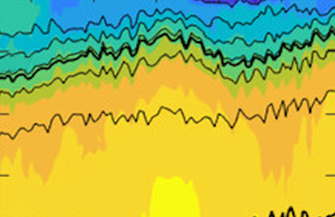
The overarching goal of this project is to collect high resolution transects across the Gulf Stream. Missions begin in Miami, FL and end near the New England continental shelf with gliders traveling across the Gulf Stream current as they are advected downstream. Prior to 2015, gliders sampled primarily between Cape Cod and Bermuda.
During a typical 100-day mission between Miami and Cape Cod, a single glider completes 6-10 crossings of the Gulf Stream, and returns about 800 vertical profiles to 1000-m depth. The current operational goal is to maintain at least one glider in the Gulf Stream at all times.
Time Span
SEP 2004 - PRESENT
Observations
Temperature, Salinity, Chlorophyll Fluorescence, Doppler Velocity, Acoustic Backscatter, Depth-Averaged Velocity
- Region: Western North Atlantic
- PI: Robert Todd, Breck Owens [WHOI]
- Funded by: National Science Foundation, Office of Naval Research, NOAA's Global Ocean Monitoring and Observing Program (GOMO), Eastman, WHOI
Data are available at three processing levels. Choose the best data product to meet your needs.
Project Dataset Files
Cleaned, post-processed and vertically binned to meet user needs
Project Dataset Processing
- Averaged to 10-m vertical bins
- Bins improve ease of use
- Bins allow for easy integration of ADCP acoustic backscatter and velocity data
- Filtered using QC flags
- Only high-quality data are represented in each bin
How to Cite
When using this dataset, please cite the data as:
Todd, R., & Owens, B. (2016). Gliders in the Gulf Stream [Data set]. Scripps Institution of Oceanography, Instrument Development Group. doi: 10.21238/S8SPRAY2675


