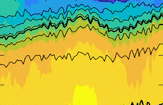
The CUGN includes gliders on four of the traditional cross-shore CalCOFI lines, Line 56.7 off Bodega Bay, Line 66.7 off Monterey Bay, line 80 off Point Conception, and line 90 off Dana Point, and on an alongshore line at CalCOFI station 60 that connects lines 80 and 90.
California Underwater Glider Network
Sustained baseline observations of climate variability off the coast of California
Autonomous underwater ocean gliders are deployed in a network to provide real-time data. Spray gliders repeatedly dive from the surface to 500-m and back along a path. Each of these dives is about 3-km long and takes about 3-hours. A full glider mission typically lasts about 100 days, covers over 2000-km and provides four to six full transects.
Applications for CUGN glider data include ocean heat waves, algal blooms, storms, fisheries impacts, marine operations, oil spill response, and weather forecasts.
- Time Span
- 2005-Present
- Observations
- Temperature, Salinity, Chlorophyll, Currents, Acoustic Backscatter, Dissolved Oxygen
- Region
- California Coast (Pacific)
- Principal Investigator
- Daniel Rudnick
- Funded by
- NOAA's GOMO Program, SCCOOS, CeNCOOS
Data are available at multiple processing levels
Choose the best data product to meet your needs
Science Quality Binned Project Data
Cleaned, post-processed and vertically binned to meet user needs
Project Dataset Processing
After each glider mission the data are post-processed and added to the Project Dataset file.
- Data are averaged to 10-m vertical bins
- Vertical binning improves ease of use
- The 10-m bins allows for easy integration of ADCP acoustic backscatter and velocity data
- Data are filtered using QC flags
- Only high quality data are represented in each bin
Access Options
Data are available in NetCDF files and are also available via our ERDDAP server which offers additional file types, data subsetting, visualization options and more.
How to Cite
When using this dataset, please cite the data as:
Rudnick, D. (2016). California Underwater Glider Network [Data set]. Scripps Institution of Oceanography, Instrument Development Group. doi: 10.21238/S8SPRAY1618
Science Quality Full Resolution Data
Science quality data are also available in unbinned full-resolution format in delayed mode after each mission is complete. Binned project data are provided to meet most user needs but the underlying data for those files are also available. We refer to these as the science-quality full-resolution mission data. This data product offers the same delayed-mode quality control as the binned project files but the data have not been vertically binned.
These files may be appropriate when detailed vertical resolution is needed. These full-resolution data are more complicated to work with as each profile and observation is heterogenous in four dimensions. If higher resolution is not required, for ease of use, we encourage using the binned project data instead.


